Topographic Survey Tampa
Topographic Survey
Now seeing as how you ended up on this page it is probably right to assume that you need Tampa Surveyors to do a Topographic Survey, known as a “Topo Survey.” Now Topo’s are used for a little bit of a different purpose than it’s boundary counterparts. Topographic Surveys are conducted with GPS (Global Positioning System), EDM (Electronic Distance Measuring), and a TST (Total Station Theodolite). These three tools are used to conduct a proper Topo Survey in which all existing contour lines are confirmed while also acknowledging property lines and existing natural and man-made features.
What is the point of a Topo?
Well in the simplest of terms it helps a company or general contractor know what elevations and landmarks they are working with. In the complicated version, the topographic survey is a vital survey in the Tampa Surveyors line of work. The reason being is that when elevation is not taken into account this can lead to costly mistakes that you don’t want to be on the hook for. For this reason alone it is good to know that Surveyors Tampa is on your side.
Contact Us

How do we do it?
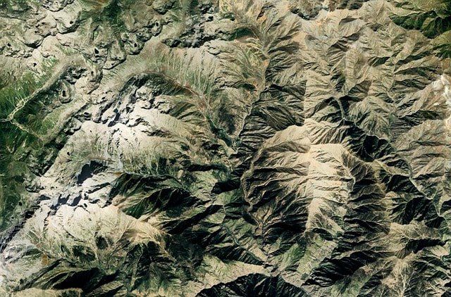
Well, there are two different ways to get the job done when it comes to Topo surveys. The first way is to do it the conventional way with all the tools that I mentioned earlier. This involves taking lots of photos and walking the perimeter of the site to effectively see all rises and falls in elevation. The other would be the aerial topographic survey. This has become effective with the rise of drones but will never replace the tried and true method of getting out there and walking the property with a client.
Now we understand that we live in Florida and elevation doesn't change a ton but give Tampa Surveyors a call to ensure that your topographic survey goes off without a hitch. A precise topographic survey done by our pros can make a huge difference on any site that is limited by difficult steep slopes of existing features.
How is a Topo used?
Topo’s are used by not only surveyors but all the other builders and contractors onsite. The general contractor will use it to make sure the house is level while the pool builder may use it to decide the best location for a pool and hot tub combo. We understand that surveys come in fast and heavy when first arriving at a job site. A topo is just another stressor for most other surveyors, but for the pros over at Tampa Surveyors that is just another walk in the park. Let TS come out and help you today.
What is in a Topo?
Topo’s commonly include elements such as contours which indicate the rise and fall of elevation depending on the distance between contours. TS will also include vegetation and other natural attributes such as a stream or creek. Last but not least is the utilities, they need to be planned for as well whether it is under or overhead utilities, boxes, and pipeline markers.